
Project Description
Obiettivi
Programma
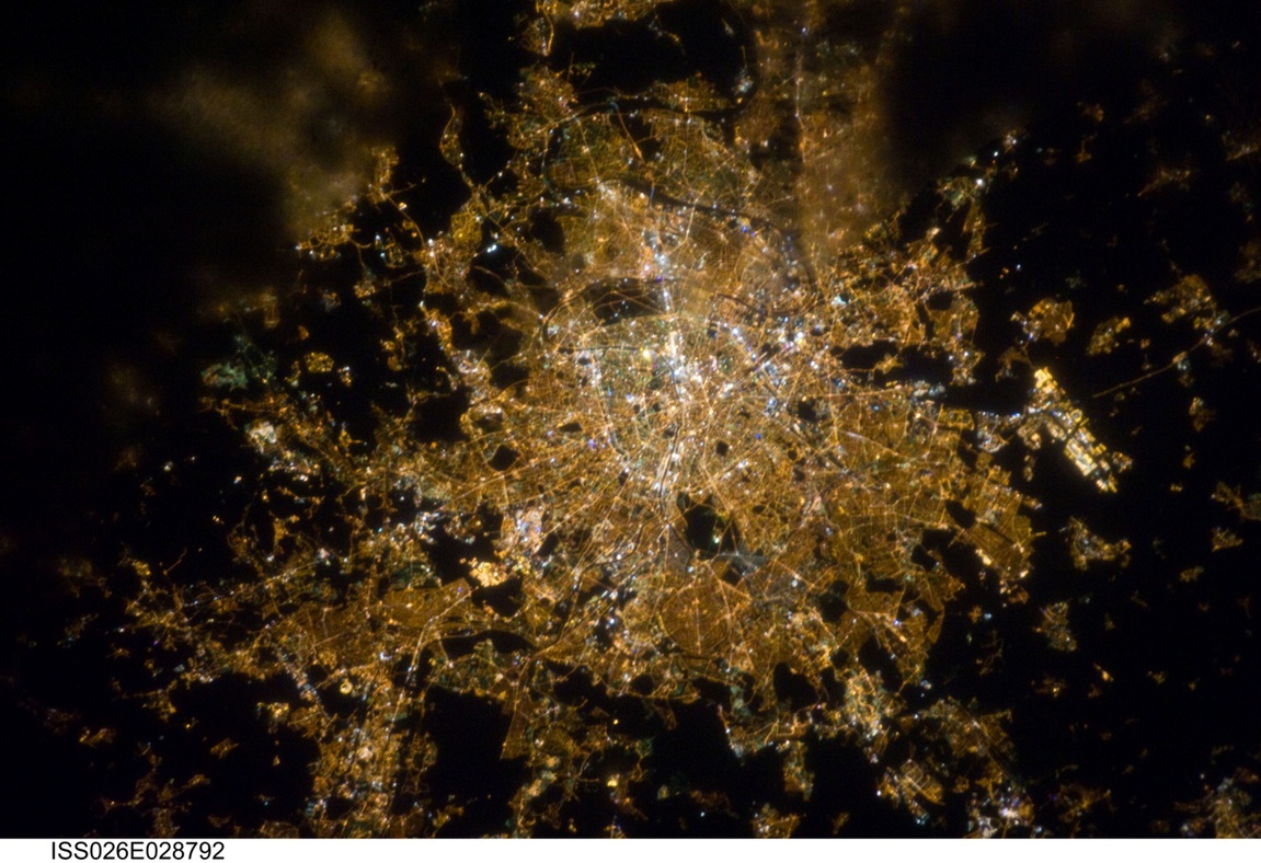
Kepler’s laws and orbital elements. Geostationary and sun-synchronous orbits. Ground tracks. Fundamental interval. Coverage. Repeat cycle and Revisit time.Ground tracks and orbital elements of the main remote sensing satellites.Satellite launch into orbit. Space missions for Earth Observation: space segment and ground segment. Physical Principles of Remote Sensing.Radiative quantities measured by remote sensors. Definition of reflectance and scattering coefficient. Active and passive instruments. Sensor technology and features. Spatial, radiometric, spectral and temporal resolution. The “multi” concept in Remote Sensing. Main space-borne instruments and their resolution parameters. Resolution requirements for remote sensing of atmosphere, ocean and land. Internet Remote Sensing products.TCC and FCC images.Radiometric and geometric features of optical and radar images. Soil and vegetation spectral characters in optical and microwave bands. Multispectral analysis. Change detection. NDVI maps. Phytoplancton maps. Wind speed over sea maps. Sea temperature maps.Identification of hot surfaces: lava and fires. Radiometric calibration of optical images. Absolute, relative and empirical atmospheric correction. Geometric correction: systematic and non-systematic errors. Rectification, registration and resampling. Image histograms and statistical parameters. Spatial and spectral transforms. Principal components. Tasseled Cap Transformation. Vegetation Indices. Classification and thematic map production. The Feature Space. Supervised and unsupervised methods. Accuracy evaluation. Examples. GNSS Reflectometry: potentiality and applications.
6 CFU-program
Kepler’s laws and orbital elements. Geostationary and sun-synchronous orbits. Ground tracks. Fundamental interval. Coverage. Repeat cycle and Revisit time.Ground tracks and orbital elements of the main remote sensing satellites.Satellite launch into orbit. Space missions for Earth Observation: space segment and ground segment.
Physical Principles of Remote Sensing.Radiative quantities measured by remote sensors. Definition of reflectance and scattering coefficient.
Active and passive instruments. Sensor technology and features. Spatial, radiometric, spectral and temporal resolution. The “multi” concept in Remote Sensing. Main space-borne instruments and their resolution parameters. Resolution requirements for remote sensing of atmosphere, ocean and land.
Spatial and spectral transforms. Principal components. Tasseled Cap Transformation. Vegetation Indices.
GNSS Reflectometry: potentiality and applications.